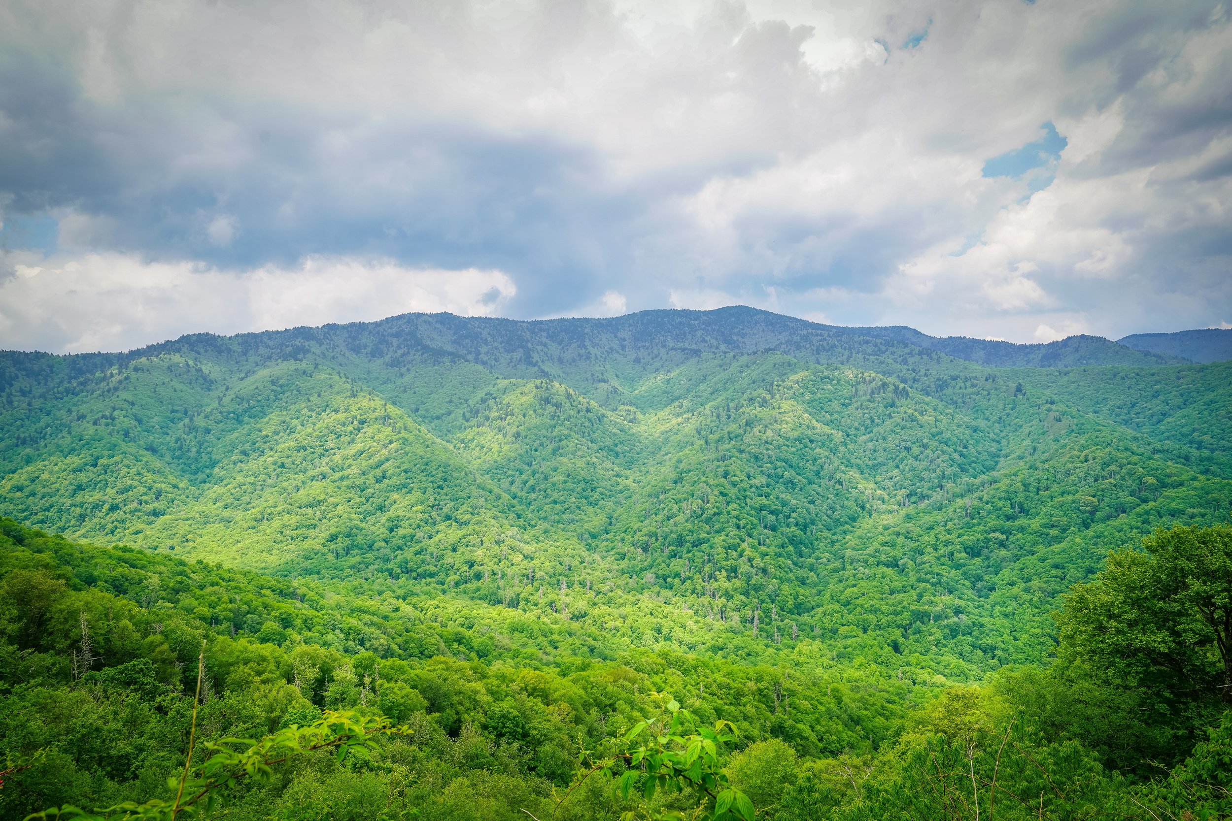


    Trails loading…
TRAIL SEGMENTS
Segment 1:
Morganton - Catawba River Greenway (Completed)
Segment 2:
Burke County - Pocket Park to Linville Access Boat Ramp (Completed)
Segment 3:
Burke County - Linville / Wolf Pit - Co-location with Mountains to Sea Trail Connector
Segment 4:
Burke County - Lake James State Park (Completed)
Segment 5:
McDowell County - Black Bear (Coming Soon)
Segment 6:
City of Marion (Feasibility Study in Progress)
Segment 7:
Joseph McDowell Historic Catawba Greenway
Segment 8:
Pleasant Gardens / Greenlee (Feasibility Study in Progress)
Segment 9:
Gateway Connector to Downtown Old Fort
Segment 10:
Black Mountain - The Oaks
Segment 11:
City of Asheville - Wilma Dykeman Greenway
COMPLETED SEGMENTS
Click to open pdf
VISION
To promote, plan, build, maintain, and advocate for the Fonta Flora State Trail with diverse trail partners.
MISSION
The mission of the Friends of Fonta Flora State Trail is to connect mountain communities in western North Carolina through the Fonta Flora State Trail to promote physical health, mental wellness, economic development, and outdoor recreation with trail partners for the enjoyment and education of all people.


    Trail Access
Where can you hike and bike on the Fonta Flora State Trail — Right Now?
Morganton
3.8 Miles of Catawba River Greenway (paved)
- Greenlee Ford 
 Greenlee Ford Road, Morganton, NC
 35.740360, -81.718058
- River Village 
 300 Sanford Drive, Morganton, NC
 35.748787, -81.704790
- Catawba Meadows Park 
 Catawba Meadows Drive, Morganton, NC
 35.760748, -81.706278
- Rocky Ford 
 35.771087, -81.691568
Burke County - Nebo
Lake James State Park - 20 Miles around Lake James (natural surface)
- Fonta Flora County Park 
 1025 Eagles Nest Way, Morganton, NC 28655
 35.797328, -81.856423
- Wolf Pit 
 5481 NC-126, Morganton, NC 28761
 35.7992761,-81.8749529
- Linville River Trailhead 
 5575 NC 126 Nebo, NC 28761
 35.791537, -81.891251
- Harris Whisnant 
 1410 Harris Whisnant Rd, Morganton, NC 28655
 35.769685, -81.823116
- Overmountain Victory Trail – LJSP – Paddy’s Creek 
- New Visitor Center and Cove Bridge – Open Winter 2022 – LJSP – Paddy’s Creek 
Marion
- Joseph McDowell Historical Catawba Greenway – 1.4 miles paved 
 166 US-70, Marion, NC 28752, USA
- Greenlee Park Greenway – 0.5 mile paved 
 1202 Old Greenlee Road
Old Fort
- Point Lookout Trail – 3.6 miles paved – 
 *Old Fort Side – Old US 70/Mill Creek Rd
 35.6622322, -82.2939962
 *Black Mountain Side - Ridgecrest Trailhead
 35.6285127, -82.2623354
- Copper Ridge Trail – 3 miles natural surface – 
 35.634477, -82.203811
Black Mountain
- Oaks Trail – 0.6 mile paved - *Vance Avenue – 35.608301, -82.327403 
 *Veteran’s Park Drive – 35.607618, -82.335391


            